Capture with a good fix
A fresh location reading within the accuracy threshold is required before a capture is accepted.
Location as a measurement,
not decoration.
A field camera that carries the context forward. Every photo records its coordinates, its capture time and the accuracy of the location fix the phone actually had.
iOS 17 · No account · No ads
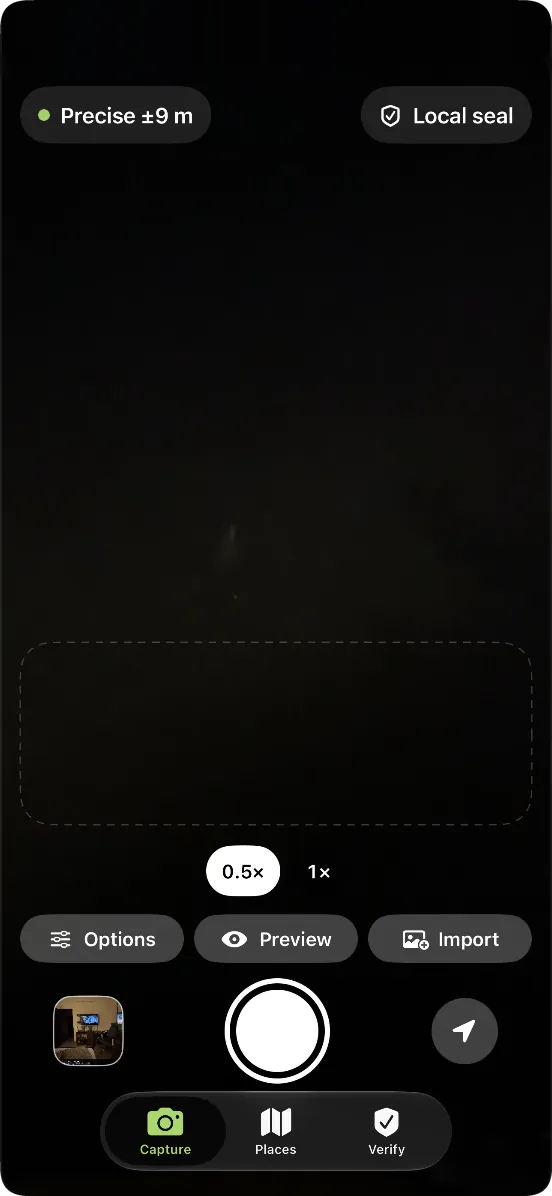
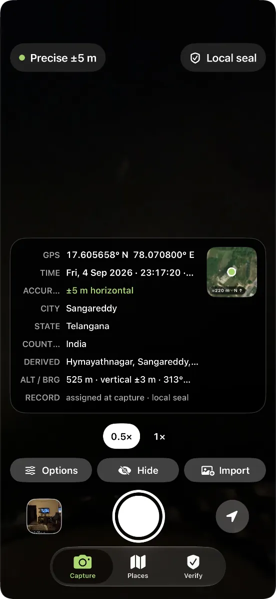
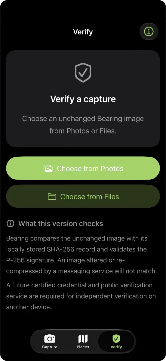
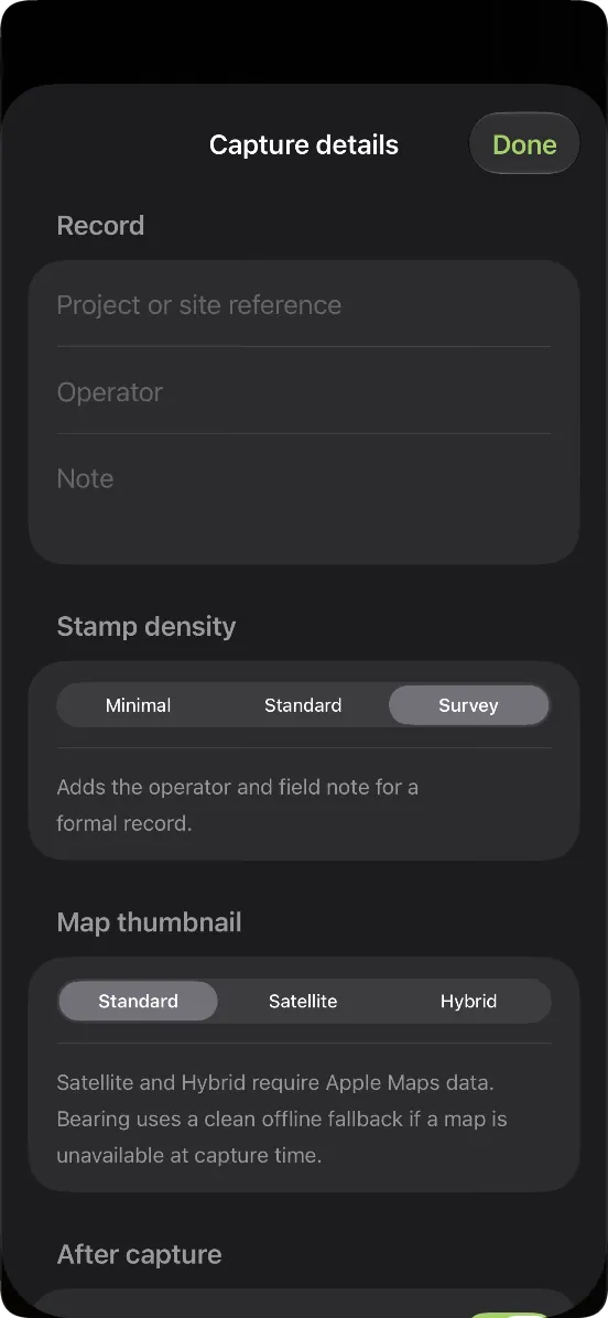
Actual Bearing screens: compose the stamp, capture the record, check the image.
A site photograph may need to be understood long after the person who took it has left. Coordinates alone do not explain how confident the phone was about its position. Bearing puts that accuracy beside the location, and accepts capture only with a fresh reading inside its accuracy threshold. The person reading the record can judge what the phone actually knew.
A fresh location reading within the accuracy threshold is required before a capture is accepted.
Coordinates, capture time and horizontal accuracy sit on the stamp. Altitude carries its own vertical accuracy.
The camera original stays untouched. The stamp is applied to a separate, full-resolution copy.
Minimal, Standard and Survey densities, with project reference, operator and notes when useful.
When a map or an address is unavailable, the app uses a fallback. Missing fields stay empty.
A SHA-256 hash and a P-256 signature in the phone’s Secure Enclave support checking an unchanged image against its stored record.
An imported photograph is labelled with values reported by its source. Capture time is fixed at the shutter, rather than reset when you export or share. The app separates what it recorded from what it was told.
Fresh fix within the accuracy threshold
Untouched, alongside the stamped copy
Against the stored local record
The local seal is not C2PA certification and does not prove that GPS cannot be spoofed. Editing or recompressing an image changes its hash. Cross-device public verification, PDF reports and project grouping are planned; they are not part of the current release.
Product support